
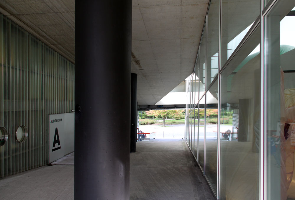
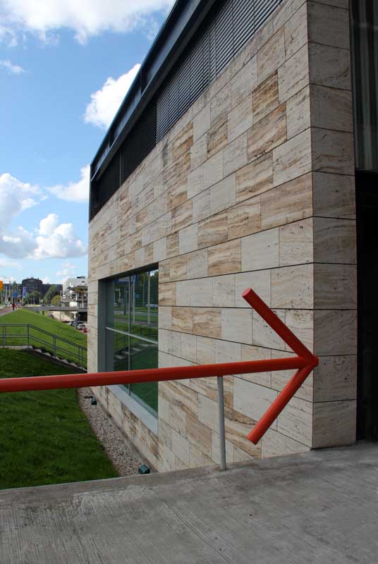
| The architects explain that the building was conceived as a square crossed by two routes: one, a road running east-west, parallel to the Maasboulevard, an expressway on top of one of Rotterdam's largest dikes; the other, a public ramp extending the north-south axis of the Museum Park. Below the photos show the north-south axis through the building. | ||
 |
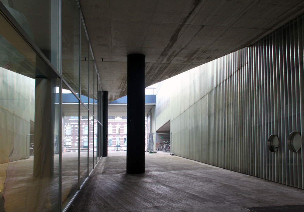 |
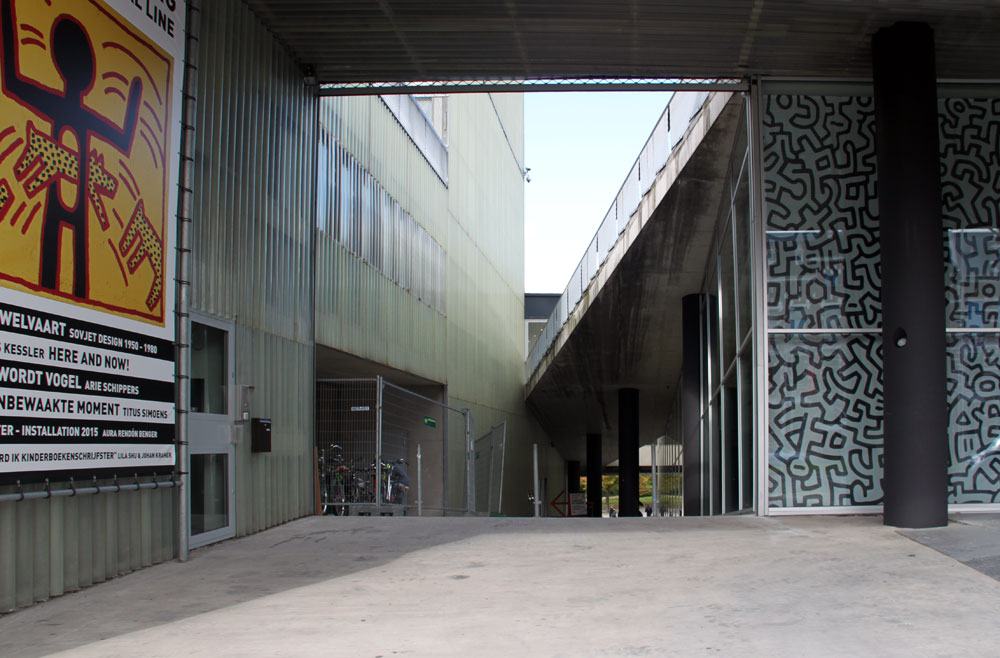
Looking southThis ramp extends from the park up to the dike level. (See last photos on preceding page for the entrance to the ramp.) |
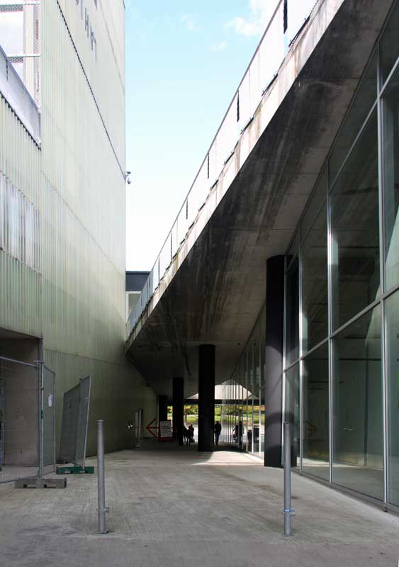
Left and center: Looking back north to the park; right: walls of ramp | ||
 |
 |
 |
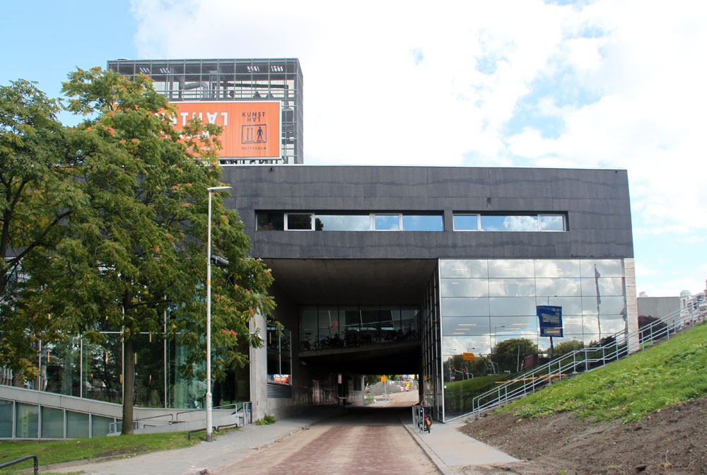
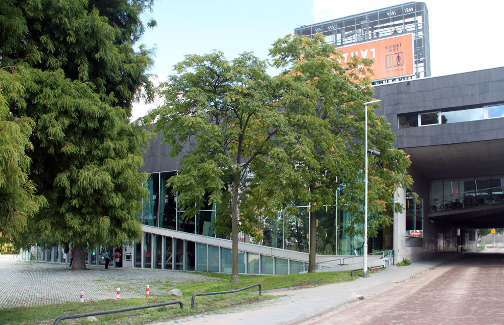
The southern entrance to the ramp, the upper end of the museum |
 |
 |
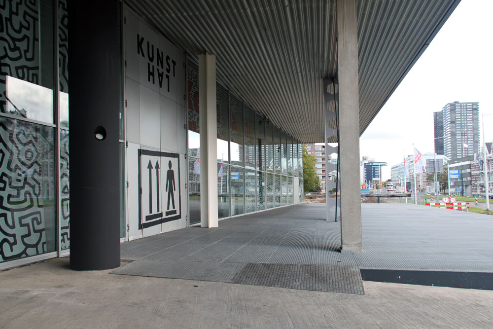
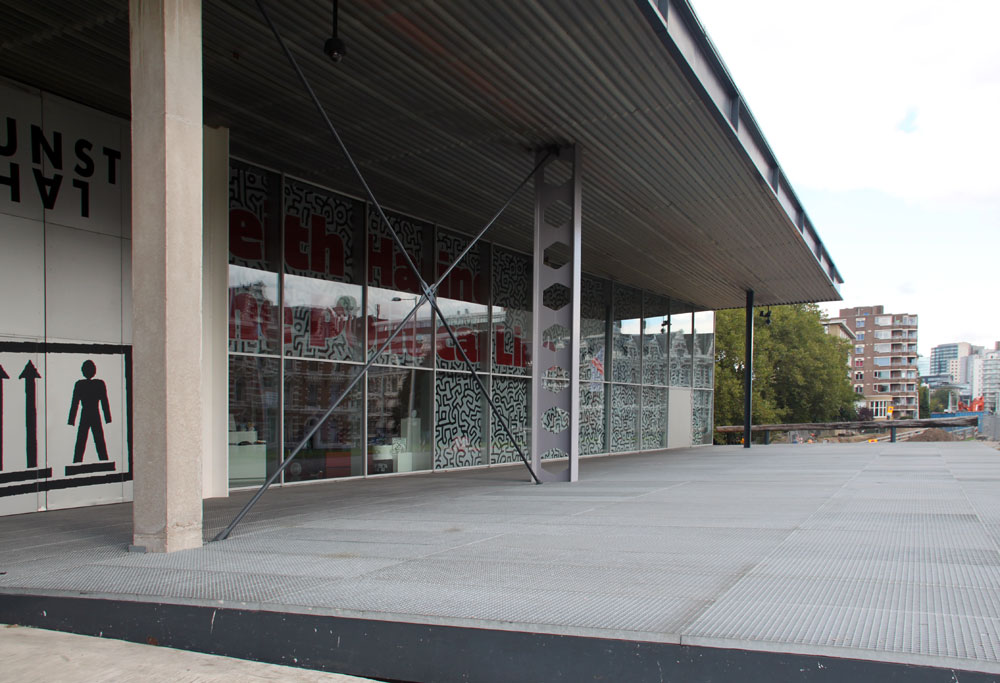
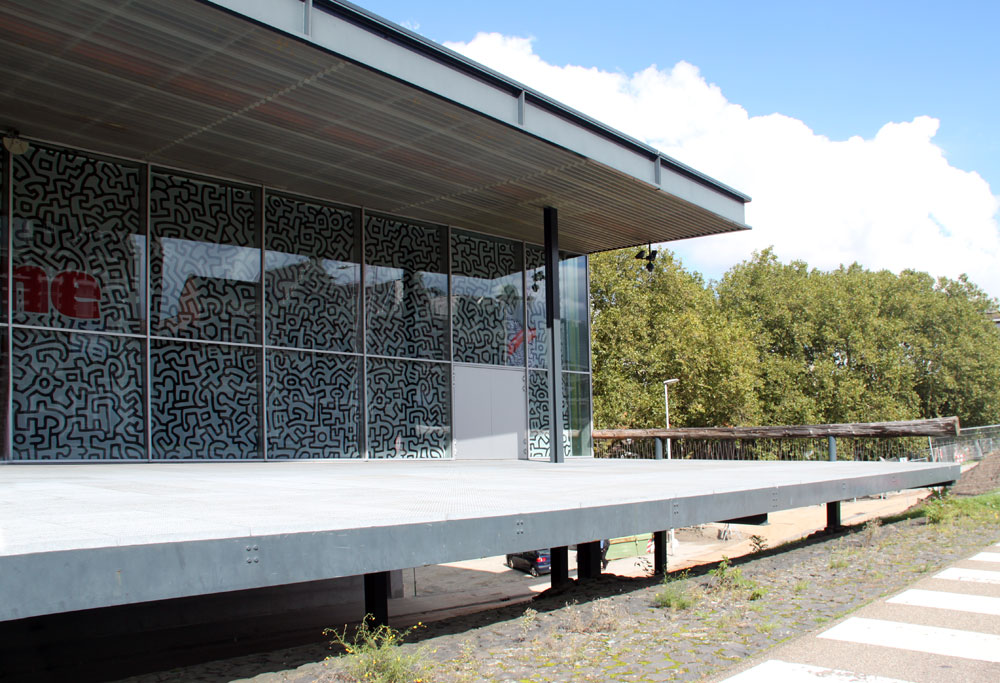
The southern facade, looking east | ||
 |
 |
 |
Left: east side; center and right: west sideThese views show the slope from the upper dike on the south with the lower level at Museumpark to the north. | ||
 |
 |
 |
 |
 |
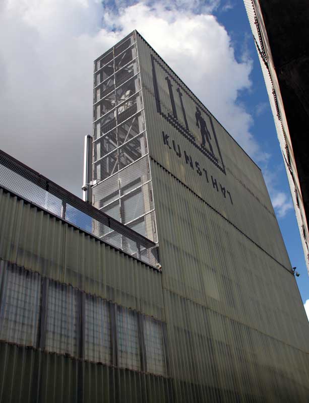
Left: service tower on the roof is also a giant billboard; |
 Click here to return to index of art historical sites.
Click here to return to index of artists and architects.
Click here to return to chronological index.
 Click here to see the home page of Bluffton University.