
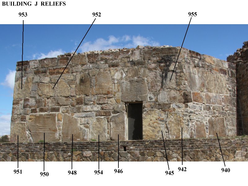
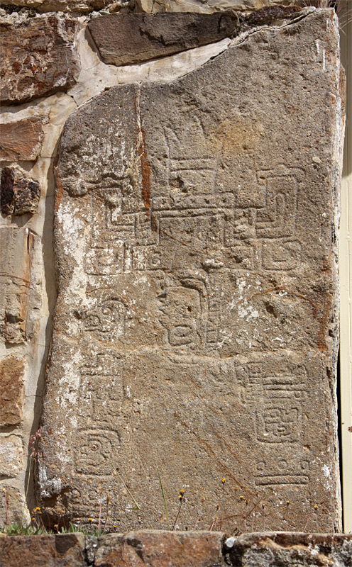
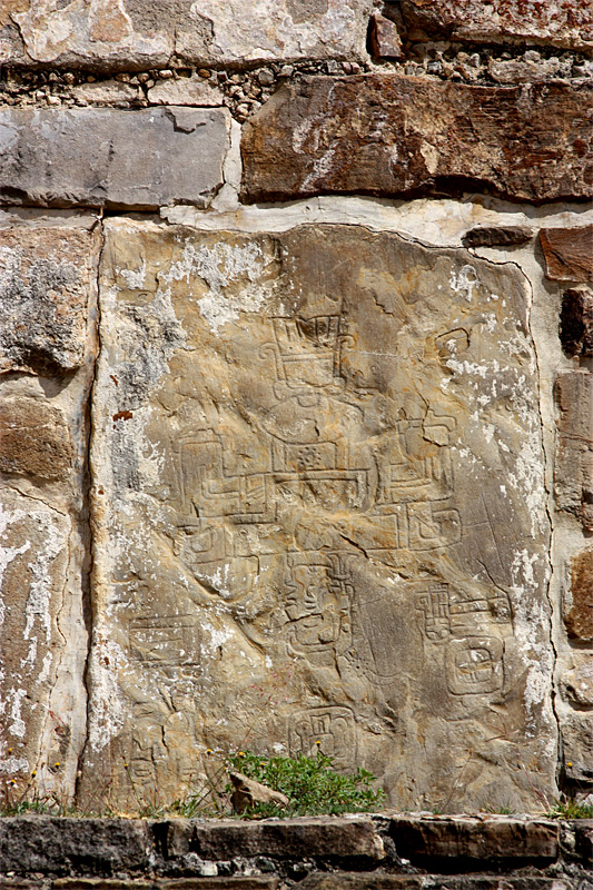
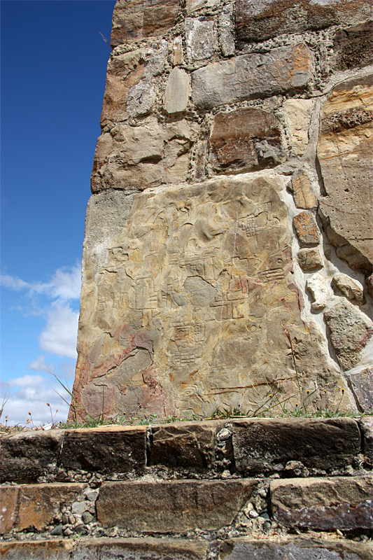
| Building J had tunnels inside, some with reliefs like those on the outside. These reliefs are essentially incised drawings of stylized figures with costume details, including elaborate headdresses. Because the figures have closed eyes and are upside down, it is believed that these reliefs record defeats of enemy kings. Because glyphs accompany the figures, it is thought that the reliefs, with this early form of writing, are historical in nature, recording dates and places of battles. The glyph with a stepped form indicates a mountain or town. (The glyphs record the dates in the 52-year calendar.) Andrew Coe states that "archaeologists believe many of the latter [defeated cities] refer to cities outside the Valley of Oaxaca, reaching almost as far / as the Tehuacan Valley, the Pacific Coast, and the border with Chiapas. The Zapotec state was now an empire with contacts to the rest of Mesoamerica" (209-210). (The numbers given below have no archaeological significance--they are simply the numbers from my digital card.) | ||
| ||
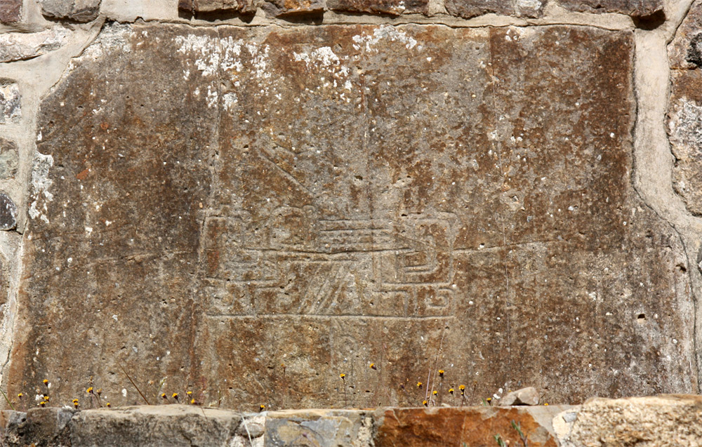
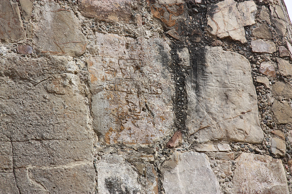
Examples 940, 942, and 945; 942 is clear. | ||
|
|
|
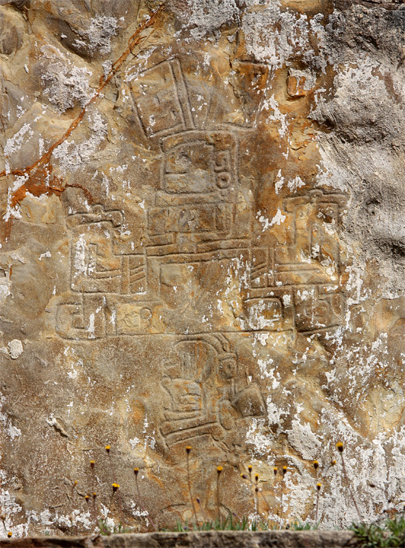
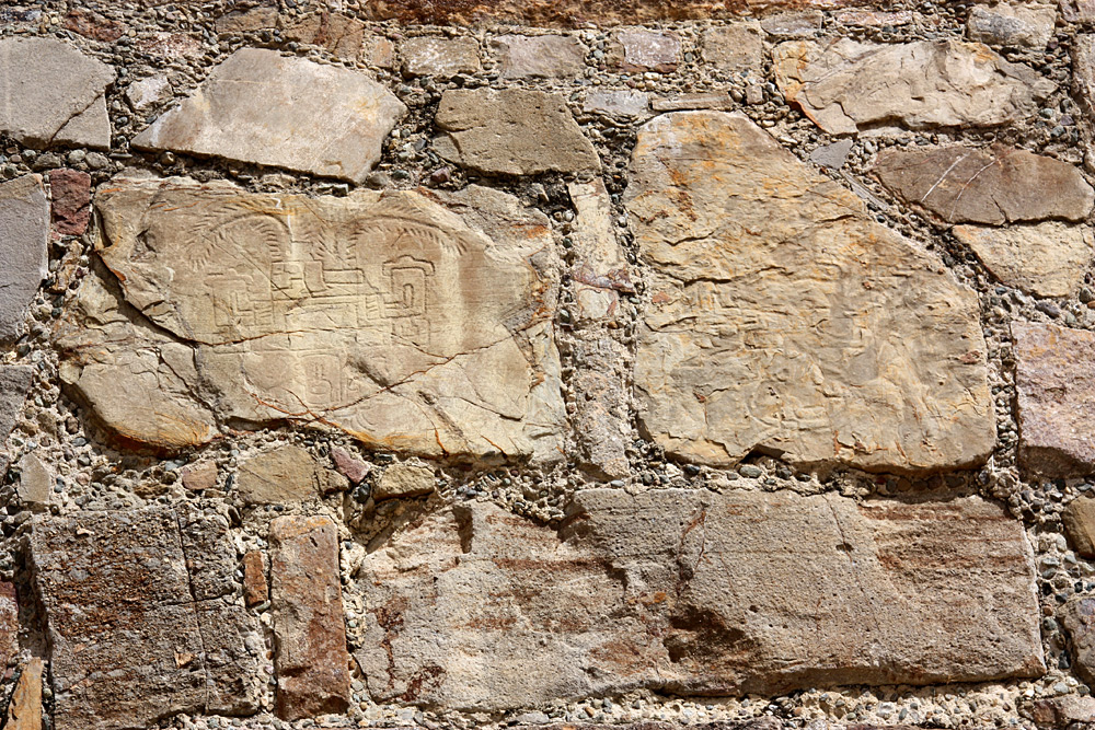
Examples 946, 954, and 948; 946 and 954 are clear. | ||
|
|
|
|
|
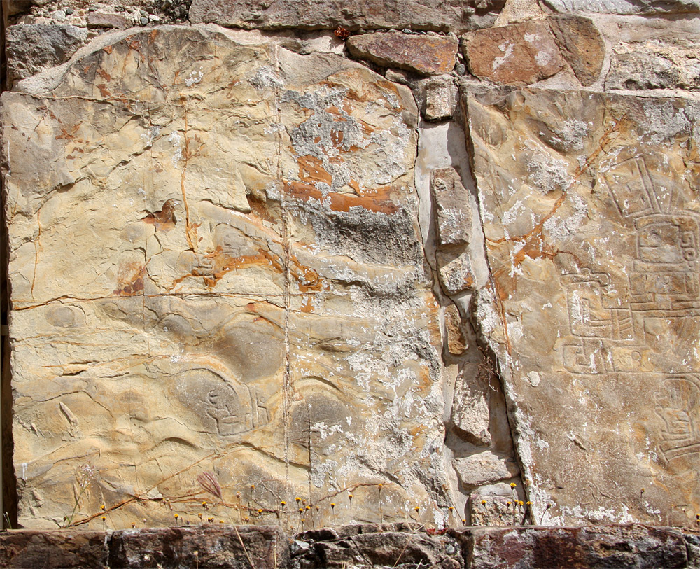
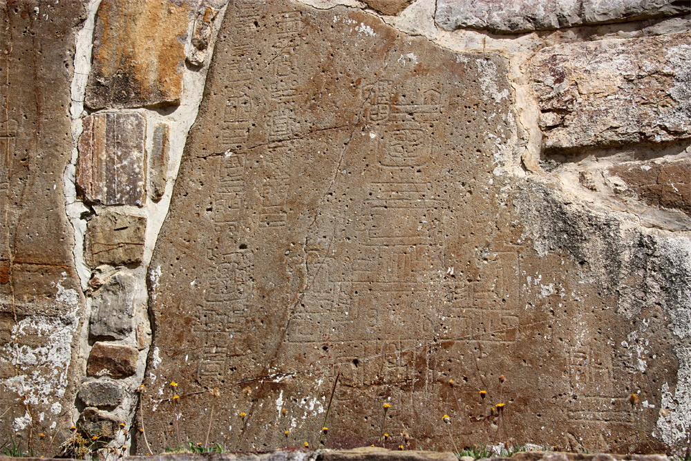
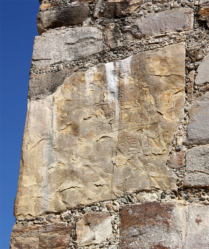
Examples 950, 951. |
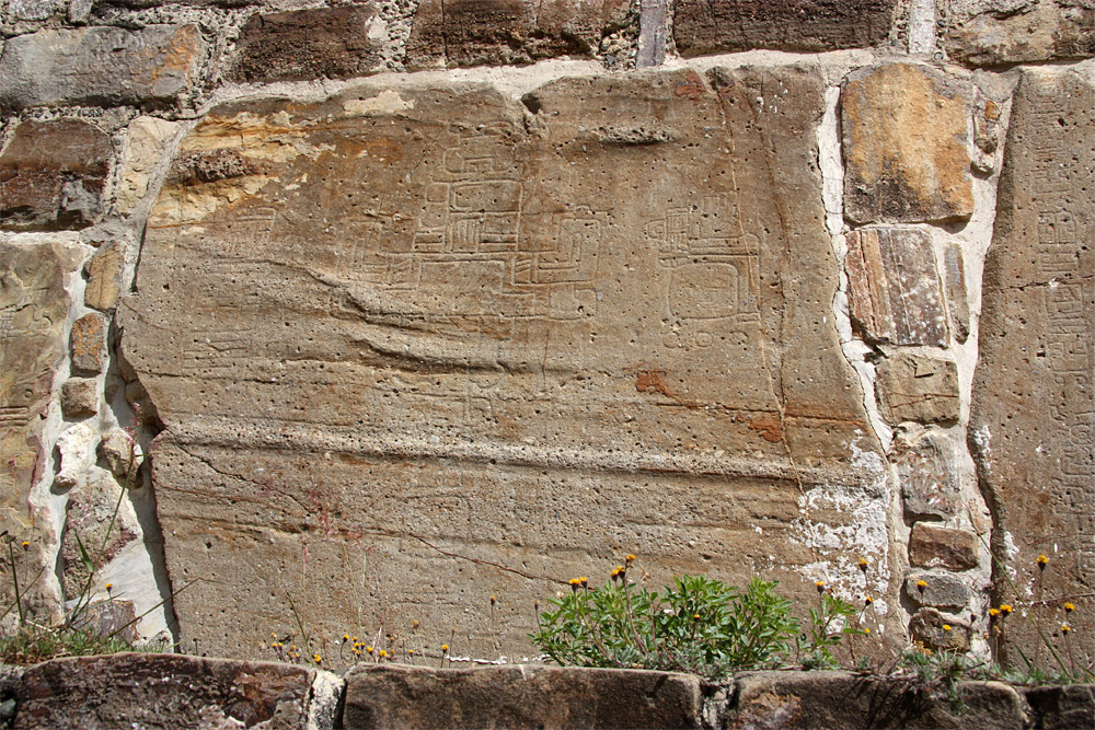
Examples 955, 952, and 953. | ||
|
|
|
 Return to the Monte Albán Index.
 Go to the Mexico Index.
 Click here to return to index of art historical sites.
Click here to return to index of artists and architects.
Click here to return to chronological index.
 Click here to see the home page of Bluffton University.

