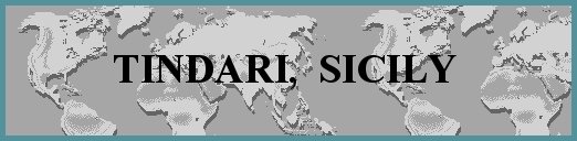
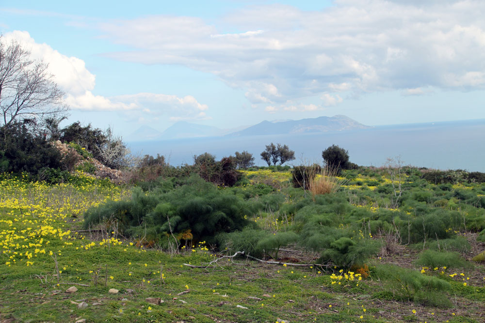
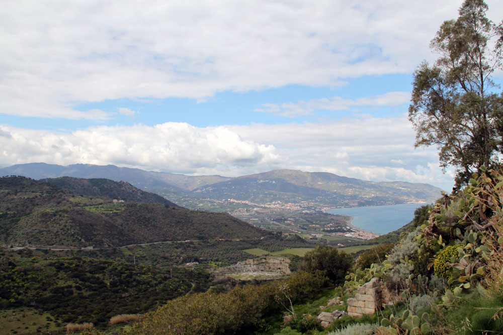
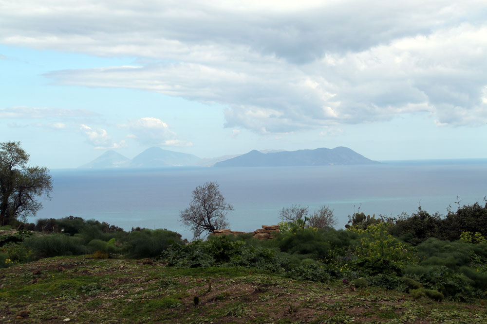
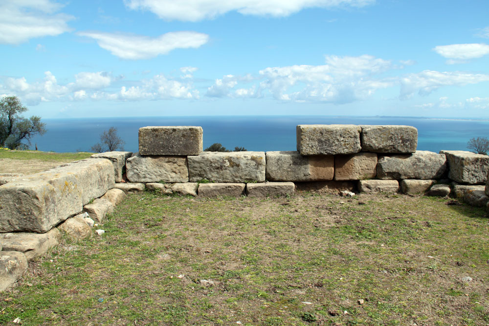
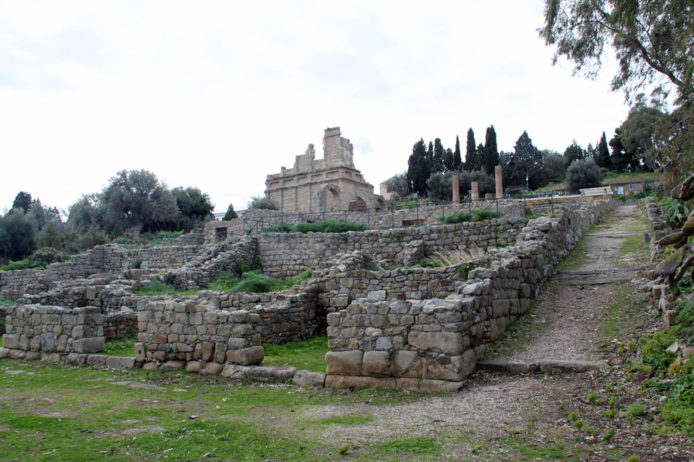
View from the ruins of the ancient town; the strong fortifications are still evident in intervalsAccording to the Blue Guide to Sicily, "the ancient city was founded by Dionysius of Syracuse in 396 BC after his victory over the Carthaginians, when he felt the need to have a permanent base on the north coast of the island. To achieve this end he forcibly transferred the entire population of Leontinoi" (484). The city was built on the summit of a tall hill, a promontory over the beautiful Tyrrhenian Sea. Later the inhabitants, who had developed a flourishing city, fell under the domination of Carthage which lasted until 260 BCE when the city dwellers received the Romans as liberators. The city developed further under Roman rule but the city fell into ruin with the fall of Rome. Today it is still a site for excavation and recovery. The original walls are still seen in parts of the fertile landscape. The walls go back to the founding of the town but were later rebuilt and reinforced and eventually were several feet wide and about 9 feet tall and circled around the cliff.Left: view looking to the islands to the north; center: view looking down to the port; right: remaining walls | ||
 |
 |
 |
 |
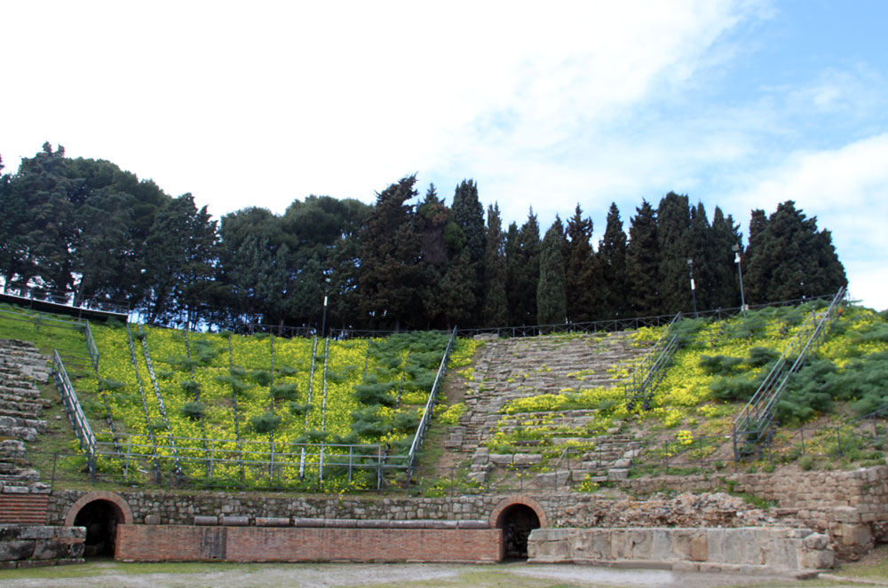
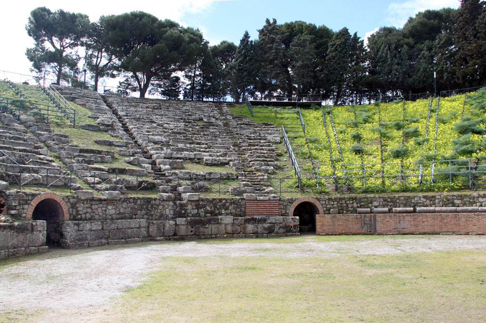
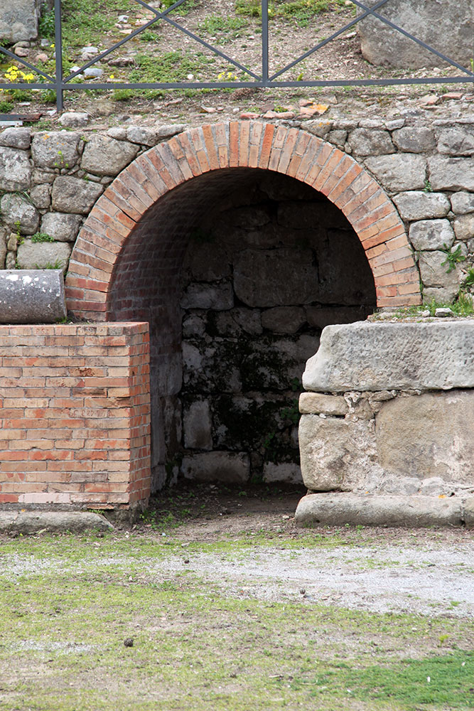
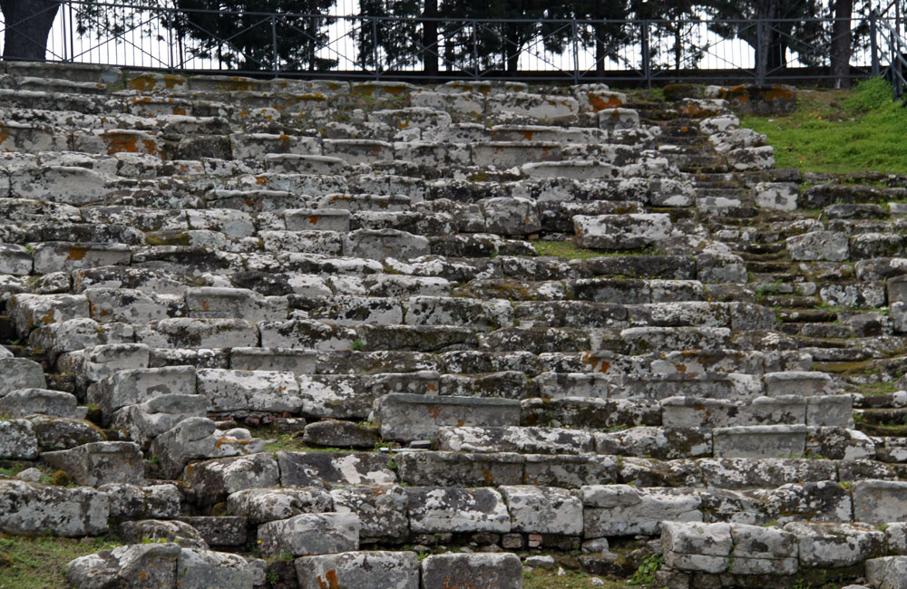
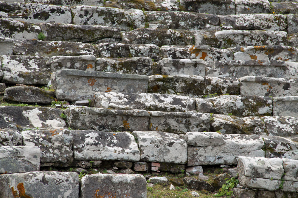
View out to the Tyrrhenian Sea and the Aeolian Islands from the top of the theaterAn important monument in Tindari is the theater, built in Greek times between the end of the 4th and 3rd centuries BC, but adapted in Roman times for use in gladiatorial games. It could hold about 3,000 people. | |
 |
 |
 |
 |
 |
 |
At the top of the theater |
 |
 |
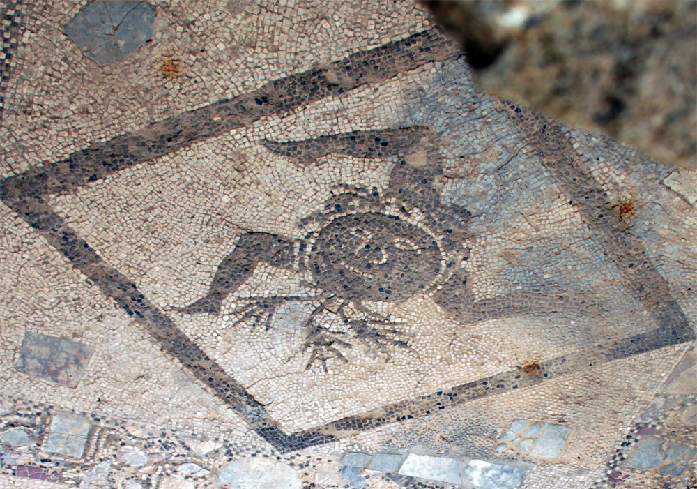
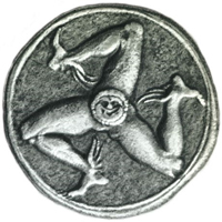
Mosaic with ancient symbol of SicilyThis mosaic is located on the floor of one of the buildings in the city. (I have flipped the image over in the center.) The image to the right is of a silver coin of the 4th century BCE. The image is a triskelion (a spiral design, here of human legs) with the head of the snake-haired Gorgon, from which radiate three legs bent at the knee. The symbol is ancient, developed when Sicily was a Greek colony, and it has been speculated that the shape of the island, roughly a triangle, connects with this geometric form. | ||
 |
 |
 |
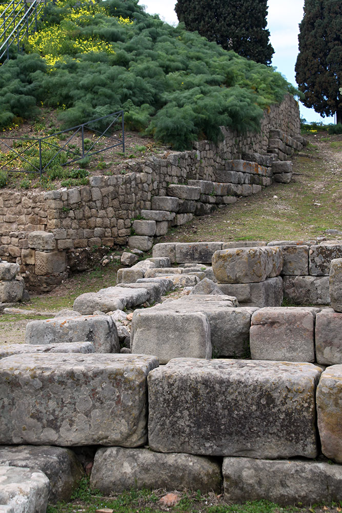
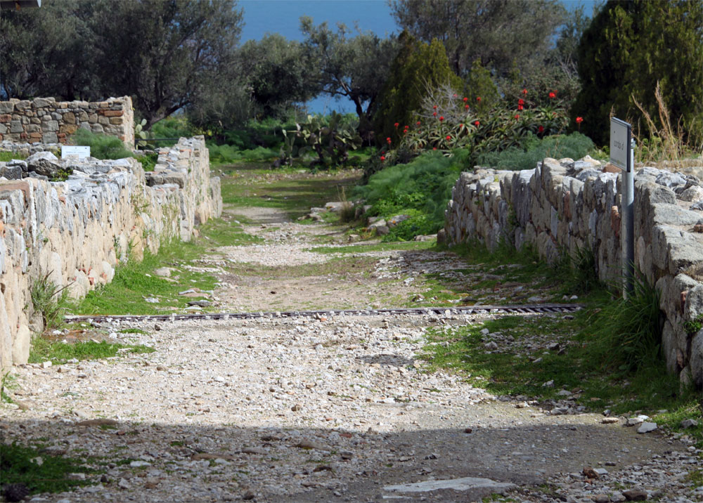
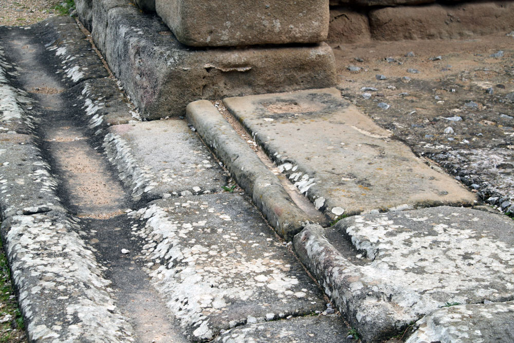
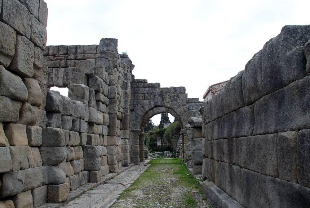
Left: The decumanus, or main east-west oriented road (according to Roman tradition); a cross street, at right angles; surviving stepsThe main road leads across the area from the theater to the Basilica. There are defined cross roads at intervals as well--all according to the Roman city-building (or military-base building). | ||
 |
 |
 |
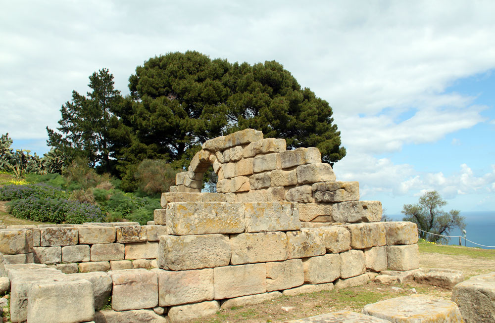
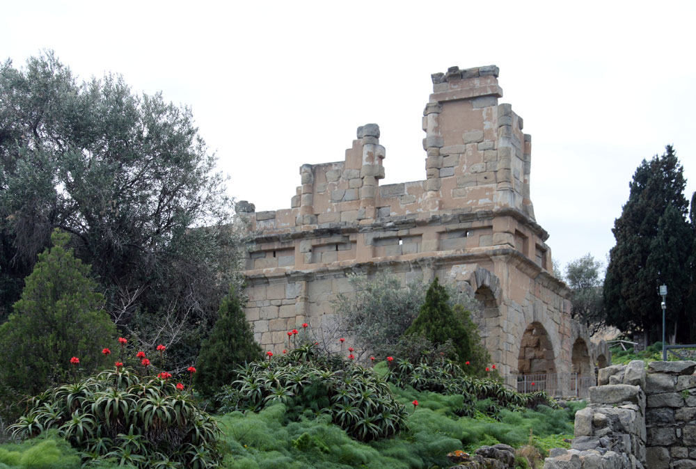
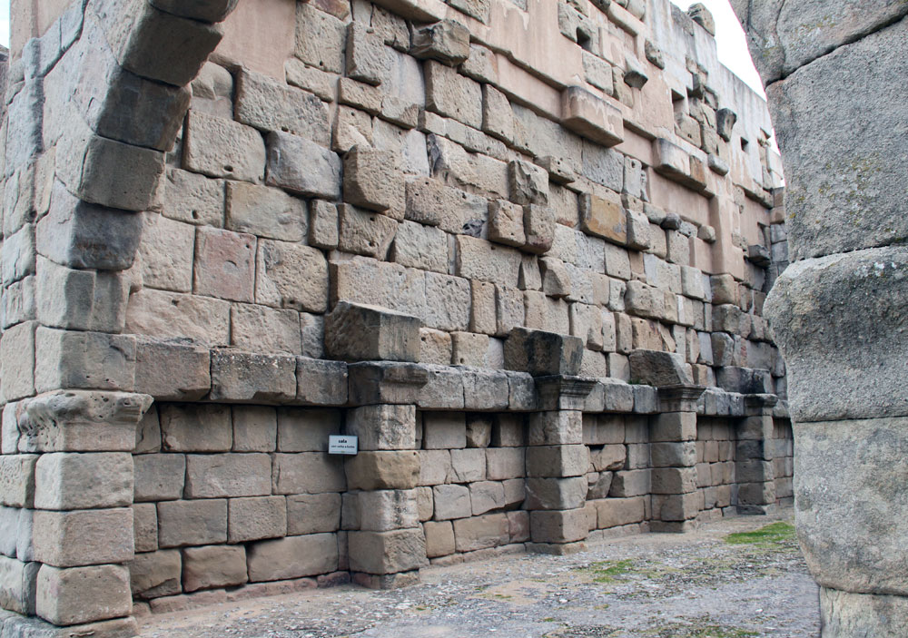
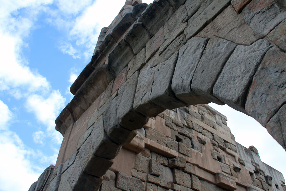
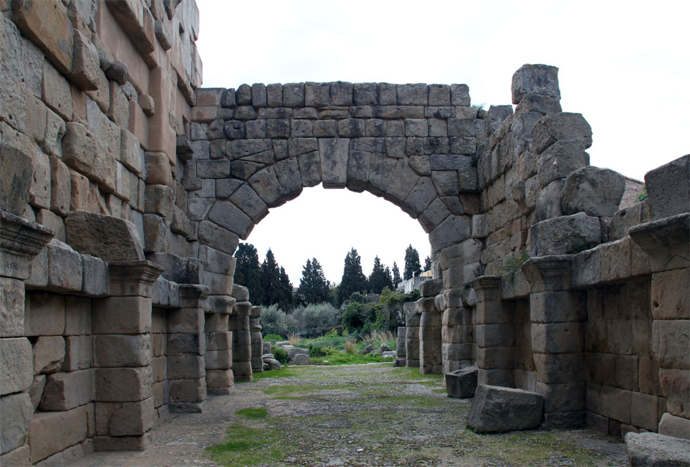
The Basilica"At the end of the Decumanus is the Basilica, once called the gymnasium. It was a civic building with a monumental entrance which led to the agora built by the Romans, according to some scholars, at the end of the first century BC. (Greeks did not use the arch in their buildings.) It is constructed of sandstone blocks, the building material of all the surviving structures in the town. | ||
 |
 |
 |
 |
 |
 |
 |
 |
 |
Works Consulted or Quoted:
Ellen Grady. Blue Guide to Sicily London: Somerset Books, 2006.
 Click here to return to index of art historical sites.
Click here to return to index of artists and architects.
Click here to return to chronological index.
 Click here to see the home page of Bluffton University.